Planning Commission undertakes research studies and policy development initiatives for the growth of the national economy and the expansion of the public infrastructure of the country, under the Ministry of Planning and alongside the Ministry of Finance.
What we are offering to the Planning Commission is, Selection of Consulting Firm for the Design, Development, and Implementation of an Online and Interactive web-based application Software for the Programming Division covering,
What is GIS-Based Software:

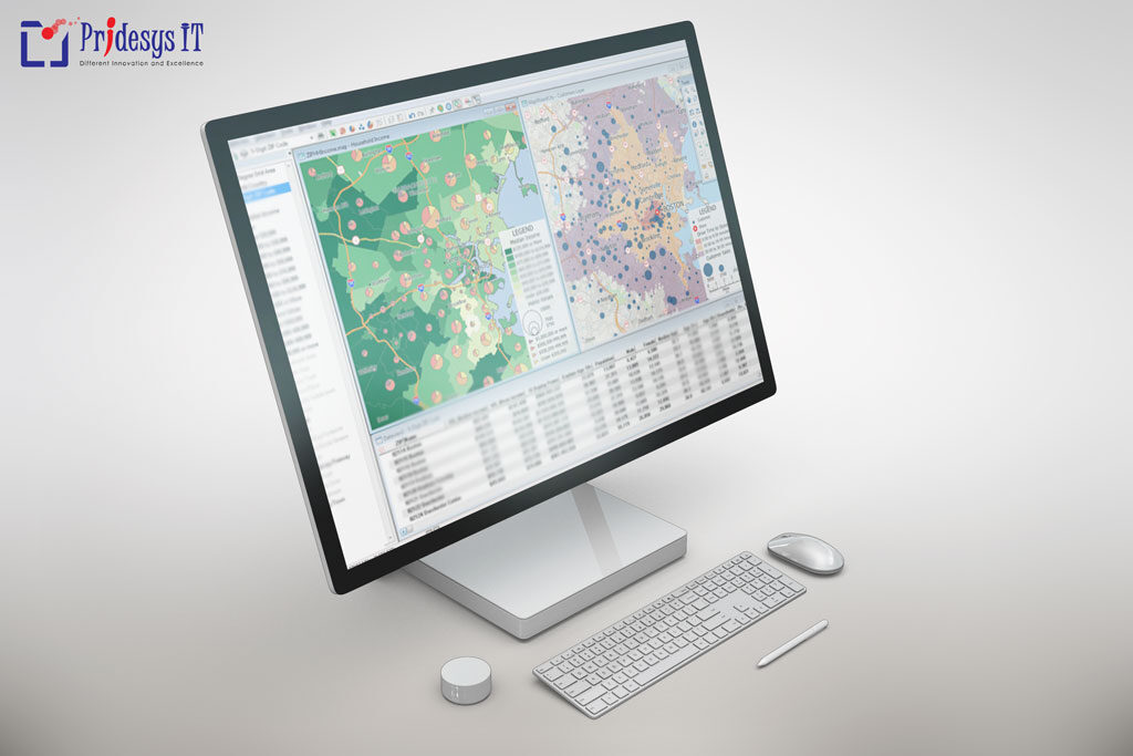
A Geographic Information System (GIS Software) is designed to store, retrieve, manage, display, and analyze all types of geographic and spatial data. GIS software lets you produce maps and other graphic displays of geographic information for analysis and presentation.
The Planning Commission is the Central Planning Organization of Bangladesh. They follows a structural and coordinated approach toward development planning with steps. Moreover, broken down into a long-term Perspective Plan covering over 10 years. A medium-term (3-5 years) Plan, and Annual Development Programme (ADP). ADP is the key instrument of operation of the development plans.
Therefore, Programming Division of Planning Commission is responsible for formulating the Annual Development Programme (ADP) of the Government of Bangladesh. Meanwhile, its aligned to the objectives and goals stated in the Five Year Plans and Perspective Plan. In addition, Preparation of ADP/RADP is a regular and continuous process in the planning and budgeting system of the country.
In order to initiate the above process of development, the Programming Division was entrusted with the additional responsibilities mentioned below:

People Also Search For:
planning commission meaning
city planning commission
zoning commission
state planning commission
planning comm
planning commission training
plannig commission members list