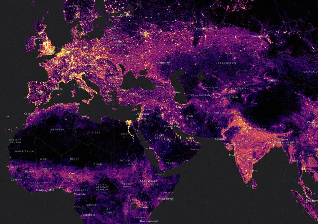
A Geographic Information System (GIS Software) is a powerful tool designed to collect, manage, analyze, and visualize various forms of data. By linking data to a map, GIS merges location data (indicating where things are) with descriptive information (showing the characteristics of those locations). This synergy fosters enhanced mapping and analytical capabilities across sciences and industries. GIS enables users to discern patterns, understand relationships, and appreciate the geographical context. Benefits include improved communication, increased efficiency, better management, and more informed decision-making.
Applications of GIS Software
Organizations across myriad sectors leverage GIS to create informative maps that communicate key information, perform analyses, share insights, and solve complex global challenges, redefining operational methodologies worldwide.
- Problem Identification: GIS helps illuminate geographically driven issues. For instance, maps and visual tools link current environmental disparities to historical redlining policies.
- Change Monitoring: By visualizing changes, GIS helps articulate the human impact on our warming planet and advocates for sustainable practices.
- Event Management and Response: Offering real-time insights, GIS plays a crucial role in managing crises, as exemplified by its use in tracking the COVID-19 pandemic’s spread and its worldwide repercussions.
- Priority Setting: Farmers use GIS to analyze soil health, optimizing planting schedules and locations to boost yield and reduce environmental footprints.
- Trend Analysis: Tracking bird populations and their migration patterns, for example, allows for a deeper understanding of data that simple spreadsheets might overlook.
Read More About: GIS Mapping Tools: How They Work
How GIS Software Functions
GIS combines geographic science with analytical tools to foster understanding and collaboration, aiming to provide actionable insights from diverse data types.

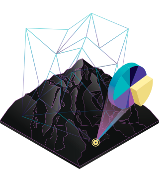
- Maps: They serve as the foundational element in GIS, housing data layers and analytical tools. A broad audience can easily share and integrate these maps into applications.
- Data: GIS integrates various data layers by spatial location. Almost all data includes a geographical element, ranging from imagery and features to base maps connected to detailed spreadsheets and databases.
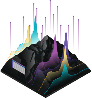
- Analysis: Spatial analysis lets you evaluate suitability and capability, estimate and predict, interpret and understand, and much more, lending new perspectives to your insight and decision-making.
- Apps: Apps provide focused user experiences for getting work done and bringing GIS to life for everyone. GIS apps work virtually everywhere: on your mobile phones, tablets, in web browsers, and on desktops.
The Top 5 GIS Software Platforms for Improving Geospatial Capabilities
1. ArcGIS Pro: The Leading Innovator in GIS Software Technology
ArcGIS Pro stands at the forefront of GIS technology, offering a robust platform that combines advanced 64-bit processing with a sleek, ribbon-based interface. Known for its dynamic 3D capabilities, ArcGIS Pro enhances the user experience with its innovative approach to cartography and spatial analysis. Key features include:
- Unified 3D Integration: Seamlessly integrates with 3D models, providing a comprehensive view of spatial data.
- Enhanced Cartography and Labeling: Produces visually appealing maps with precise labeling.
- Integration with ArcGIS Online: Offers expanded functionalities through cloud-based services.
- Smart Ribbon Interface: Context-sensitive tools adapt to user actions, enhancing productivity.
- Strong Geoprocessing Tools: With more than 1500 tools spread across 35 toolboxes, you can achieve complex spatial analysis.
2. QGIS 3: The Open Source Champion
QGIS 3 thrives on its open-source framework, challenging conventional commercial GIS software with its comprehensive suite of tools and native 3D integration. People particularly favor it for its flexibility and the vibrant community that actively supports its development. Highlights include:
- Volunteer-Driven Innovation: A strong community constantly enhances its capabilities.
- Native 3D Capabilities: Built-in support for three-dimensional data visualization.
- Versatile Plugins: Extensive plugins enhance functionality, catering to a variety of analysis needs.
- Broad Toolset: Includes over 900 tools for mapping, editing, and analysis.
3. ArcGIS Desktop: The Professional’s Choice for Advanced GIS Software
ArcGIS Desktop raises the standard for professional-grade GIS Software, offering unparalleled scalability and advanced tools for detailed geospatial analysis and modeling.
- Scalability: Adapts to increasing data complexities and user demands.
- Advanced Cartography Tools: Offers sophisticated symbology and visualization options.
- Comprehensive Editing and Topology Tools: Ensures precise data management and analysis.
- Integration with ArcGIS Online: Enhances functionalities with other web-based applications.
4. Hexagon GeoMedia: Expert in Remote Sensing and Analysis

With over four decades of expertise, Hexagon GeoMedia is a trusted name in GIS Software, recognized for its powerful analytical tools and strong cartographic capabilities. This software, when combined with ERDAS Imagine, becomes a formidable force in remote sensing. Its core features include:
- Rapid Querying and Analysis: Streamlines data processing to achieve faster results.
- Advanced Cartographic Features: Offers smart labeling and high-quality map production.
- Remote Sensing Suite: Integrates with ERDAS Imagine for enhanced image analysis.
- Diverse Mapping Options: Supports multiple layouts for various project needs.
5. MapInfo Professional: Mastering Location Intelligence
MapInfo Professional excels at providing location intelligence solutions, aiding businesses in making informed decisions based on geographical insights. Despite a competitive market, it remains a top choice due to its user-friendly interface and powerful geocoding features. Its strengths include:
- Intuitive User Experience: Features a ribbon-based interface that simplifies navigation.
- Enhanced Table Management: Offers superior tools for managing large datasets.
- Effective Geocoding: Ensures accurate location plotting and data analysis.
- Dynamic Visualization: Integrates various data visualizations side-by-side for comparative analysis.
Each of these GIS software platforms offers unique strengths, making them valuable tools in diverse professional landscapes. Whether your focus is on detailed cartographic production, robust data analysis, or integrating geospatial data with cloud solutions, these top GIS tools pave the way for enhanced understanding and decision-making based on geographical data.